The distribution of water for agricultural purposes has prompted, for centuries, a series of works to
create “cavi” “rogge” , artifacts that supplied it according to three categories into which the dense
network of distribution canals in the low well-watered plain was distributed : those derived directly
from the rivers, those derived from the main branches through mouths of extraction, and “cavi”
originated by the canals of the second order that make the water flow on the land to be irrigated.
This union added the drainer ditches, which collected the water in excess after its use in the fields:
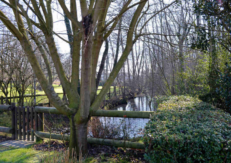
from the Naviglio, then, could derive a myriad of “rogge” or minor canals that have characterised also
the Robecco territory and that represented, and still represent, a valuable element to operate the
irrigation system and to characterize Robecco’s rural landscape.
They were certainly more diffused in
the past centuries as they also served to drain water from the marshland.
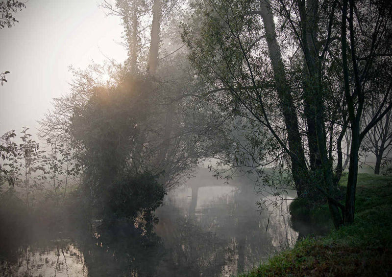
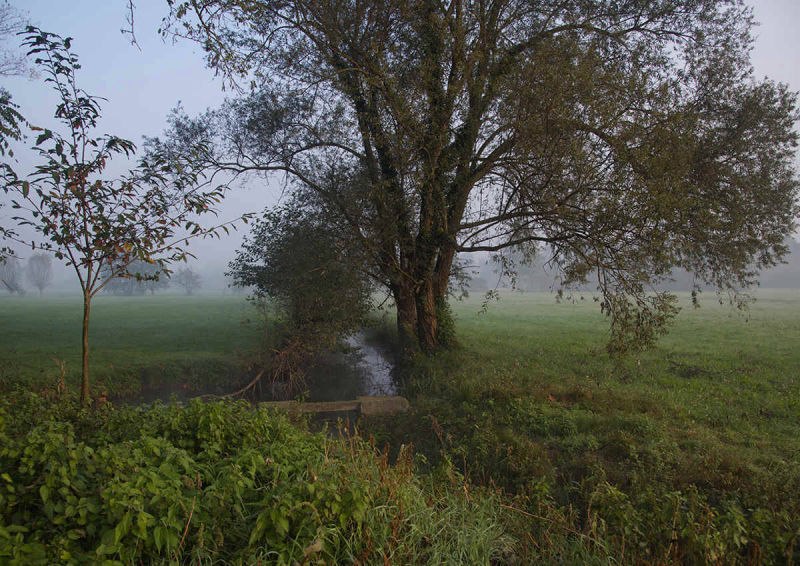
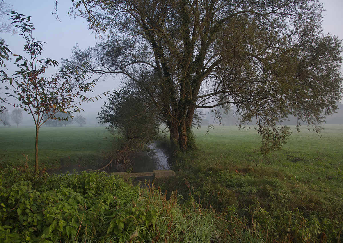
The whole countryside is crossed by this network which, even though with different dimensions and
seasonal capacities, has assumed primary importance: to the east of Robecco the “Rogge” Soncina and
Negri, deriving directly from the Naviglio, while to the west along the valley the “ Rogge” Guadate,
Verga, Verghetto, Remarcia, Remarcetta, Bacile, Roggione, Calderara, the canal Delizia, the “cavi”
Castagnolo , Citterio and Monegata.
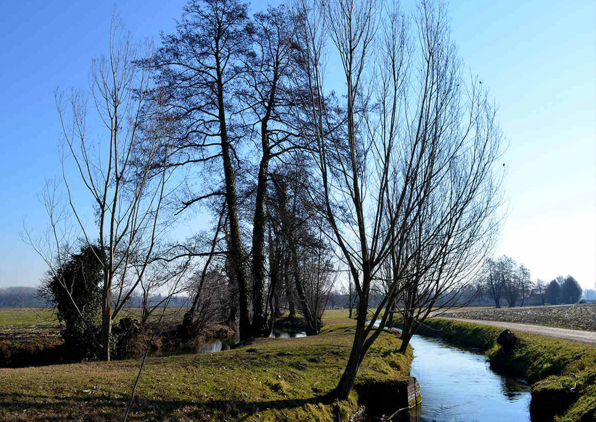
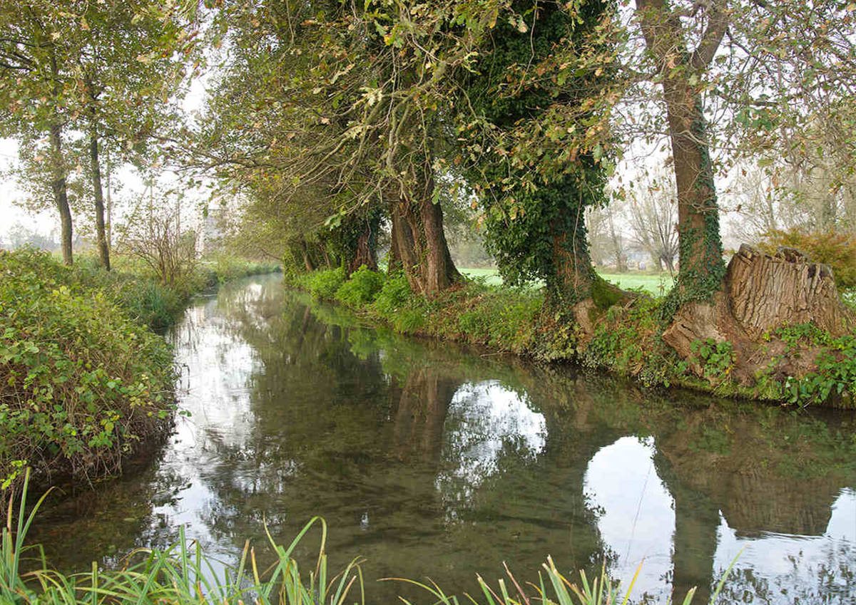
The set of “rogge” is a complex system that runs under the open sky through cultivated fields and, for
short sections, also passes through wooded tracts, branching off to join again subsequently
downstream, with others coming from the north, or dissolving permanently in the irrigation canals
with a repeated pattern until their final merging in the Ticino, level with Morimondo.
This irrigation structure is the result of a planning that optimizes the limited flow of the individual
canals, creating a single functional system dating back to the Middle Ages, even if some “rogge” have
changed their names or have disappeared, and the instability of the water set up also involves the
“fontanili”, mentioned in ancient documents when the situation had not been affected by the gradual
decline of the past centuries, so much so that in the valley of Robecco only three “fontanili” can be
identified (those of the Mill of S. Marta, “Le tre fontane” and near via Molinetto at Carpenzago);
their scarcity today is in part compensated by the presence of the “rogge” derived from the Naviglio
and, however, to increase the availability of water in Robecco countryside, the water comes from the
Canal Villoresi and from the “Risanatore” of Magenta.
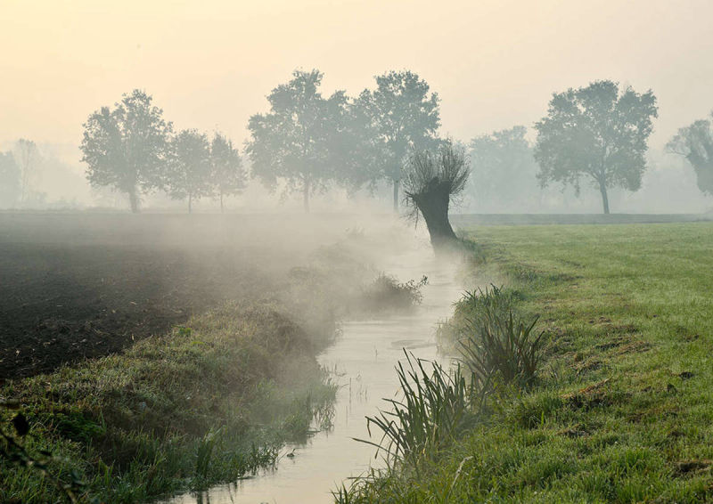
The Municipal territory of Robecco is crossed by a series of water courses of various origin, and from
the Naviglio Grande derive two important “rogge”, Soncina and Negri. In addition to these, there is the
network of the “rogge” Girella, Rottura, Guadate, Remarcella, Vergo, Bacile and Popola, a set of
“rogge” that passes through cultivated fields and, for short sections, also wooded tracts. The system is
described in the survey promoted by the Province of Milan95, as a tangle of “rogge” that moves from
the Naviglio Grande.
The origin of the entire irrigation structure derives from a planning which allows to drive the water in a
single grating, optimizing the limited scope of the individual courses, and the coordination of the flow
of each “roggia” with the others allows it not to run out and to continue flowing; the set of water
contained is then the product both of the constant input of the ditches and of their swelling which
allows them to be divided by making them pour out from the main “cavo” 98.
THE BIRTH OF The “rogge”
The birth of these “rogge” appears in some documents of the fourteenth and fifteenth centuries and this
allow us to assume their realization in medieval times though documents of official archive are
missing; some channels also existed previously,, even if now their traces are lost.
On the Municipal
territory there are other watercourses, identifiable with certainty:
The Roggia Pratomaggiore, called Vergo above cascina Cambiaga , takes shape
at the Mill Mussi in locality Pontevecchio of Magenta. After a course of approximately 13 km
it forks downstream of Visconta to be reunited again in a single river-bed downstream of
Cambiaga and thence to flow into the canal Comi in the Municipality of Abbiategrasso shortly
before the merging with the Ticino.
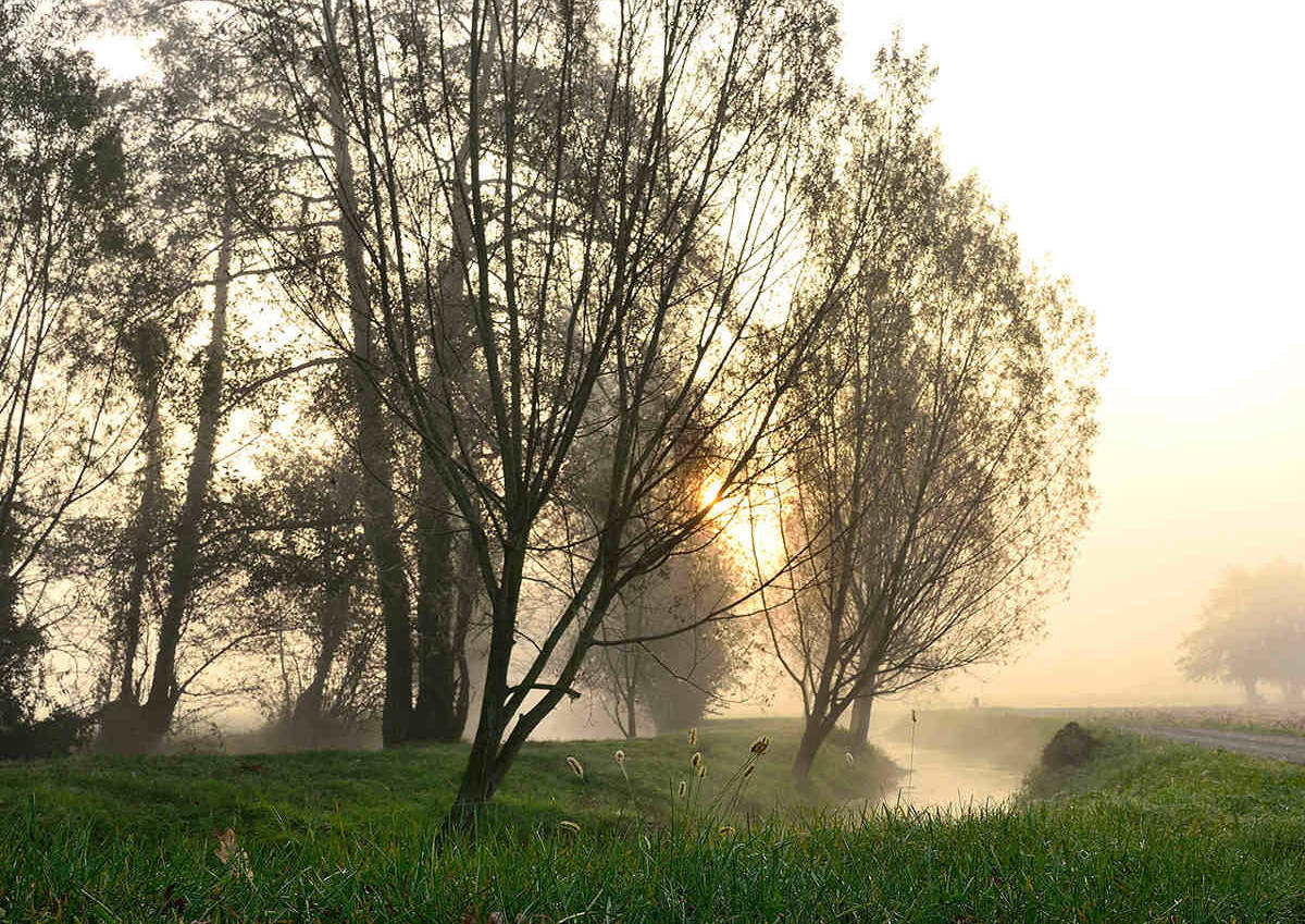
It flows through a cultivated territory and the alternation, along its shores, of areas with the
arboreal essences and areas only covered by grass creates a unique and suggestive landscape.
Originally called "New", it is the most important “roggia” derived from
the Naviglio..
Detached from the channel at Ponte Vecchio, it runs parallel to the Naviglio up
beyond Robecco, here goes away and is directed toward Cusago crossing the territory of
Cassinetta, Albairate and Cisliano. It had been dug since 1463 to irrigate the ducal estates
around the castle of Cusago, from which also derived the name of "The Ducal Roggia". Sold to
Count Maximilian Stampa in 1531, it then became the property of the marquis of Soncino up to
the twentieth century, thus assuming the name of "Soncina" without however abandoning
completely the previous designation; we do not know for certain the year when it was dug,
even if various documents certify its existence around 1450, attributing the will of its creation to
the Sforza. In the ninenteenth century, between Robecco and Cassinetta, an extraordinary
hydraulic distributor called "The Mudél" was built, so as to measure the amount of water
derived from the Roggia Soncina in canal Negri, created using huge monoliths of pink granite
from Baveno.
The Roggia Calderara runs for about 8 km , starting in Boffalora sopra Ticino at the border with Bernate Ticino (where it is also called “roggia Donda”) then crosses Magenta and Robecco sul Naviglio flowing into the “rogge” at Abbiategrasso.
The canal Citterio covers a distance of approximately 10 km originating at Ponte Vecchio, in the vicinity of the cascina Monti and after passing near cascina Prinetti and Salvaraja, arrives at Abbiategrasso, then overflows the canal “Scolmatore” of the north west and then enters the roggia Gambarera and the irrigation canals.
The Confalonieri runs for about 2 km in the vicinity of the Cascina S. Maria Rosa, north of Castellazzo de' Barzi, running towards the east and ending between the cascina Chiappana and Tangola and in the “fontanile” Pietrasanta in Corbetta.
The canal Delizia travels 5 km before merging with the Ticino, originating in Magenta and crossing the Boscaccio locality and Bosco Fasolo.
It has a course of about 1 km, with origin in the north-east of Castellazzo de' Barzi, above the road for cascina Brambilla, and terminates at Cascinello Croce , in part by irrigating the fields in north of the Chiappana and partly flowing in the fontanile Confalonieri.
The “fontanile” S. Marta arises from two” heads”, precisely at S. Marta and, shortly after, it waters the irrigation canals after a path of just a hundred meters.
The “ Tre Fontane” originates level with the Wood of S. Ambrogio, halfway between Casterno and Carpenzago, and terminates after a few tens of meters in irrigation canals.
The canal Risanatore coming from Magenta is also known as “ fontanile San Bernardo”.
Mobirise free software - More